Yosemite 2020
From Sept 30 thru Oct 4 Rus & I camped in Yosemite. About a week before our trip the park was closed due to the smoke from the Creek fire, but it was opened just in time for us to go. We drove separately, Rus from San Rafael, me from Sherman Oaks, and met about 5:30 on the 29th at the Crestview rest area on 395 between Mammoth and June Lake.
It was quite smokey that night. The next day we drove to Tuolumne Meadows (8,619'), the air was much clearer there. For the whole camping trip, some days we saw haze or smelled smoke, but it was never bothersome. The weather was perfect. Daytime highs were around 70 and it got cold at night but didn't freeze.
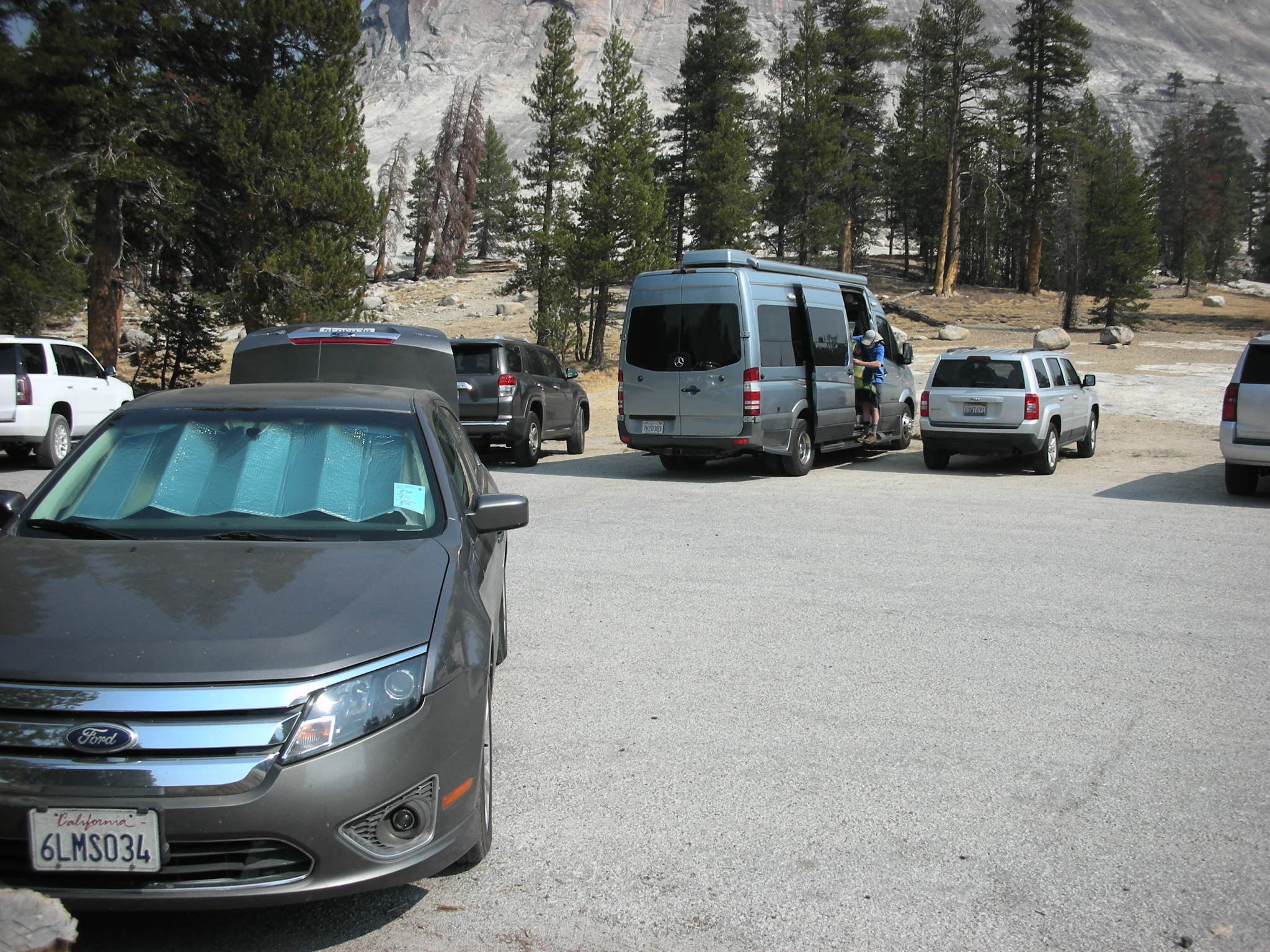
Our first hiking day was from the Lembert Dome parking area to Young Lakes via Dog Lake.

The trail starts out fairly steep until Dog Lake, where we lunched.
Then the trail winds through a series of meadows, up and over ridges, drops down to meet another trail and finishes with another steep climb to the bench below the first lake.

This bench was a lake at one time, but is now a mostly flat sandy meadow. Then a short climb over the moraine that dams the first Young Lake.
We took a breather and then went up to the next lake, a short and easy walk on good trail.
From here we continued to the highest lake. The trail disintegrates into a ducked route that gets really steep just before the lip of the bench of the last lake. The route aims right at the outlet creek, and then climbs on all fours over rocks and through bushes. Then you're there. 10,250' About 7 miles.
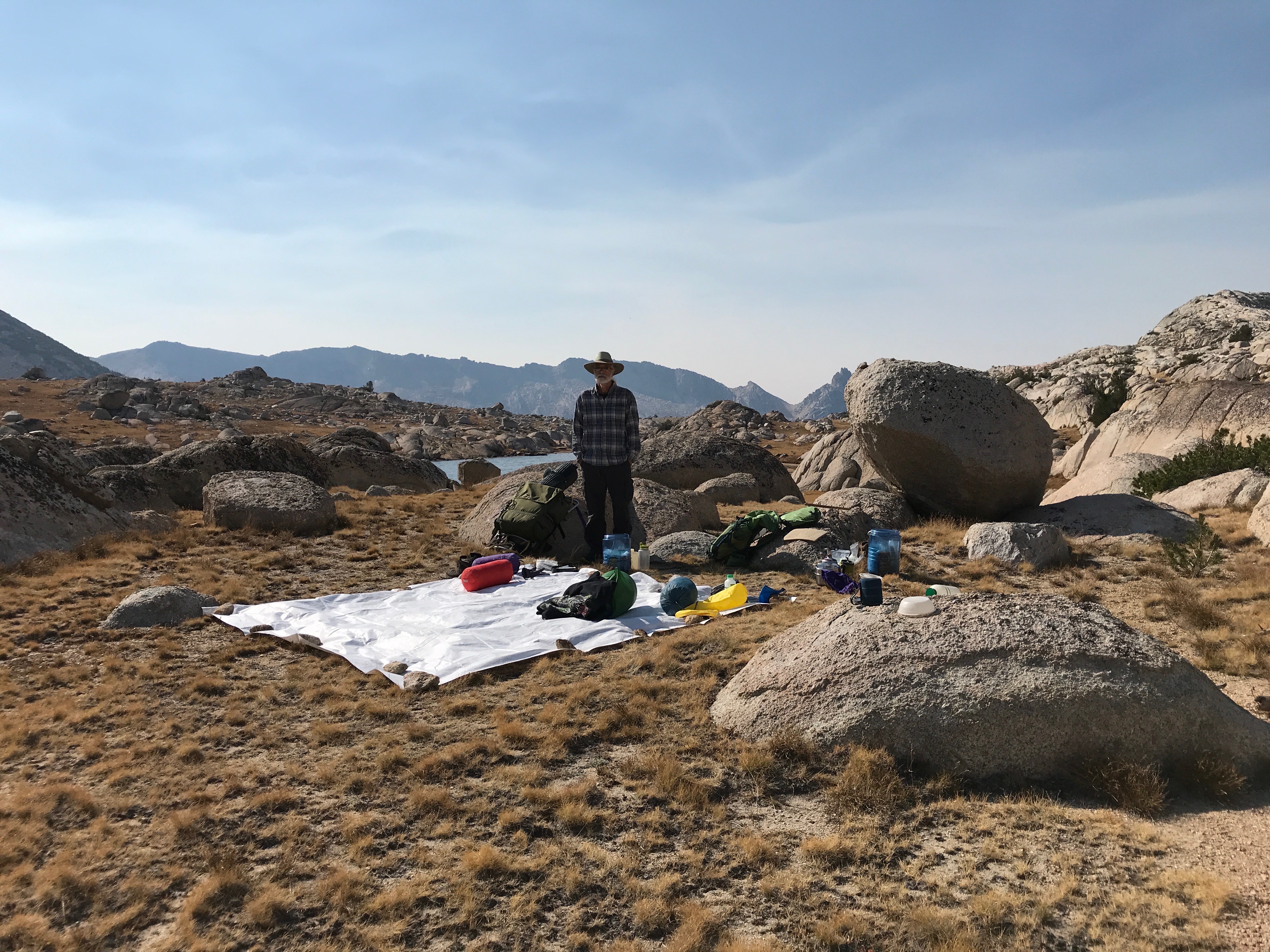
We found a campsite and washed up.

The next day we set off to climb Mt. Conness. We got a day pack with our essentials and started out. The trail started at our campsite and was easy to follow and pretty direct. It didn't go exactly as planned, the less about that, the better.
Smokey

After we had been back at camp about an hour or so, a family we had seen and passed just before the first lake (the day before) arrived. The youngster, I'd guess about 10 years old, rushed over the last few yards from the steep edge of the bench, threw off his day pack, shoes & shirt and dove right into the lake, shouting, "I win!" He swam around a little while as his parents came on up and took some pictures. Rus & I thought the water was a bit too cold for that, and wondered what had happened to make us so wimpy.
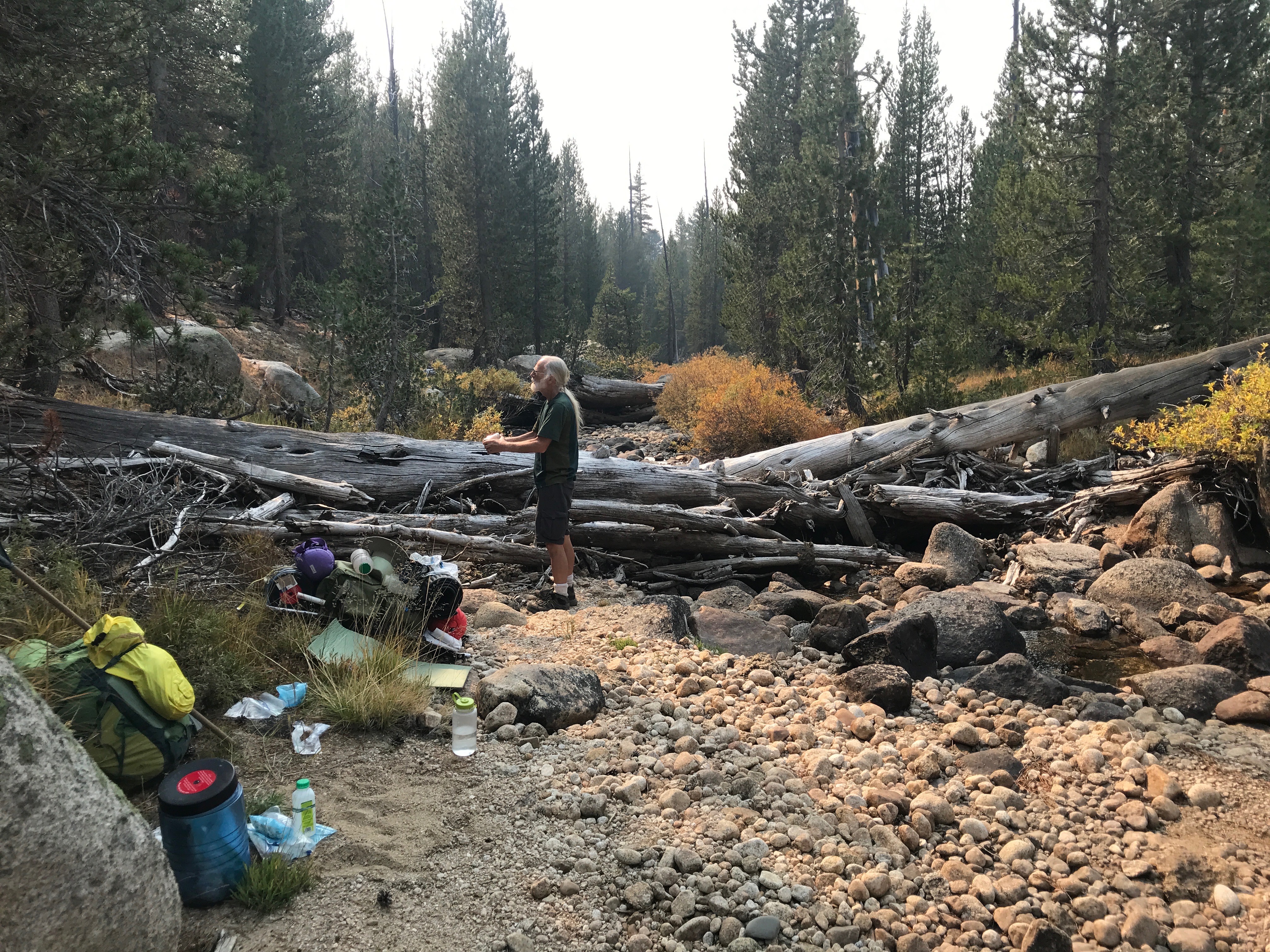
The next morning, with renewed resolve, we moved camp to Roosevelt Lake. All cross country and by mostly dead reckoning. Rus did some great route finding through a very steep boulder field. And when we crossed a creek he checked our location on his GPS.

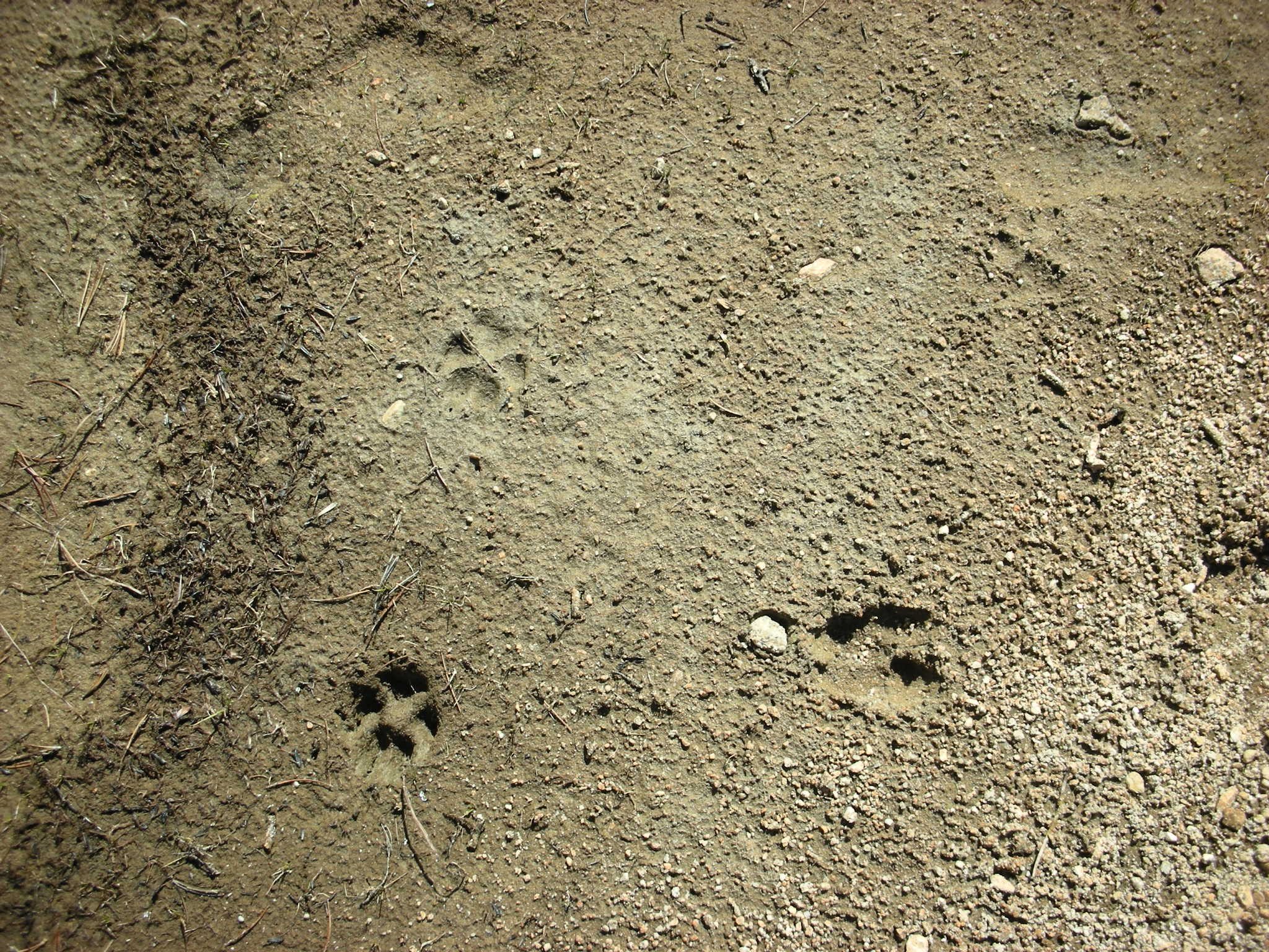
My map and his phone agreed that the creek came from a small pond just above us on a broad bench, where we soon plopped down to have lunch.

We waded in the pond and saw several animal tracks.
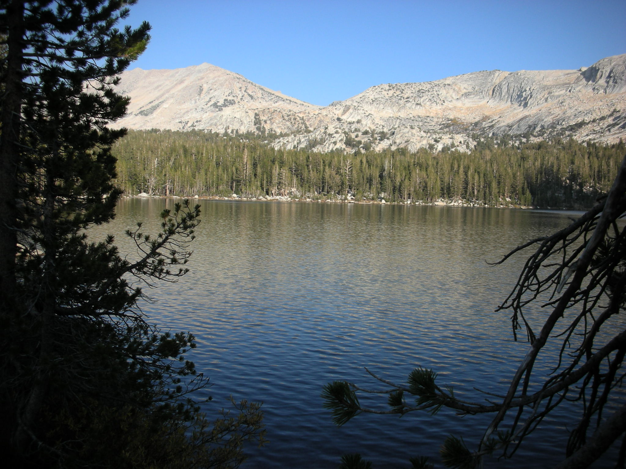
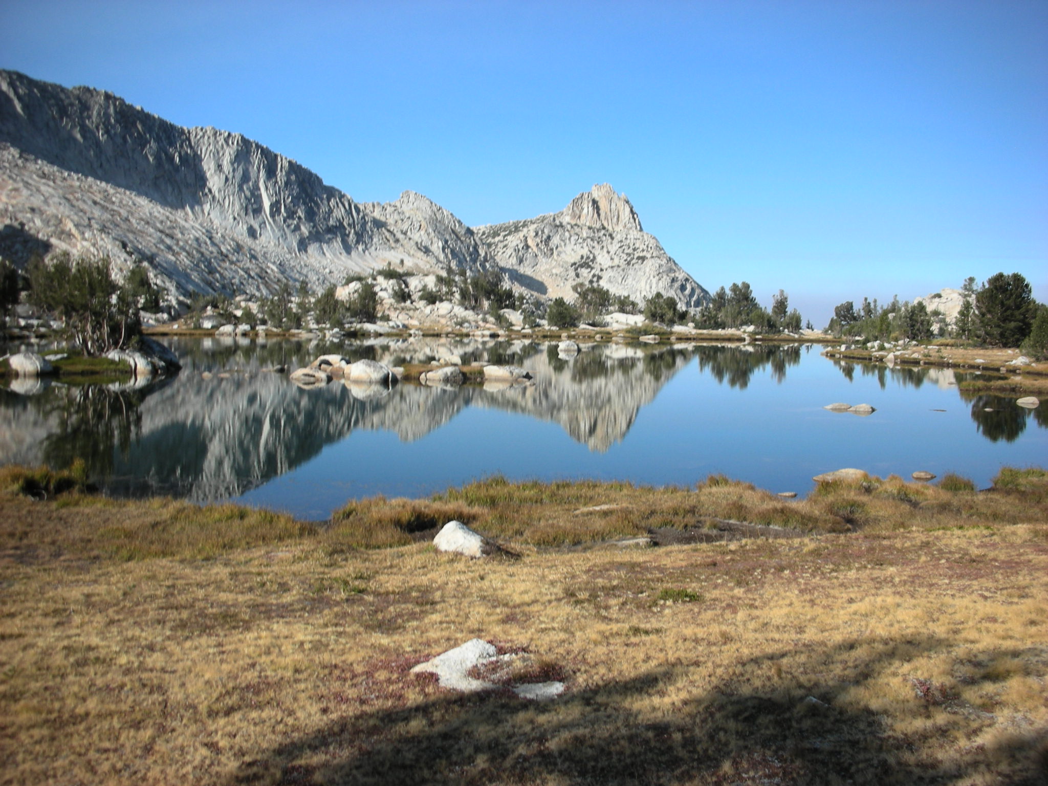
From here it was a short stroll across mostly meadow lands to Roosevelt Lake (10,184').
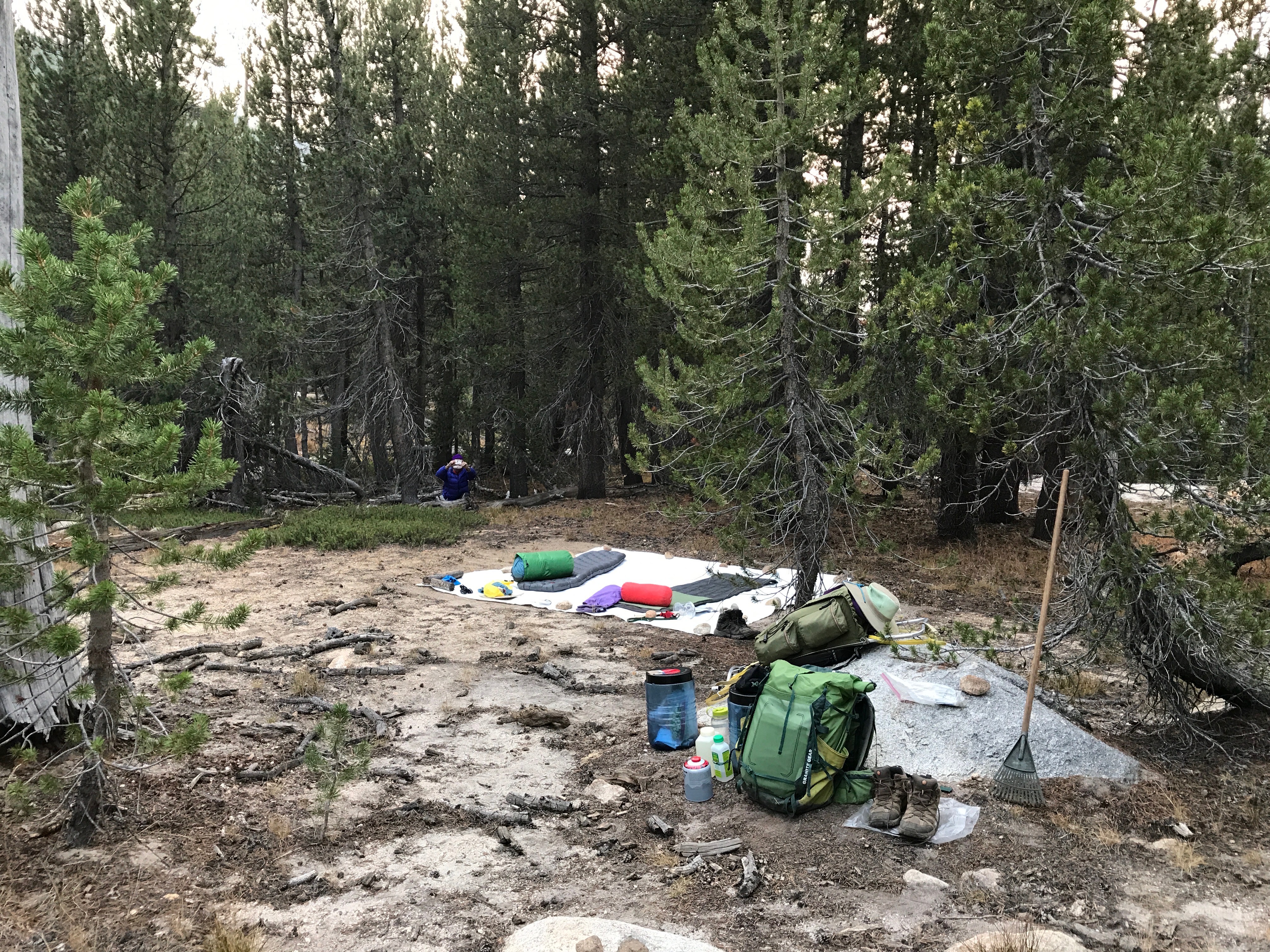
It took some time to find a campsite. The regulations prohibit camping on any vegetation. There were no granite slabs big and flat enough to sleep on, and every bit of ground was either rock piles or gravel with innumerable small plants. We opted to crush the least plants we could, and be 200 ft from the lake.
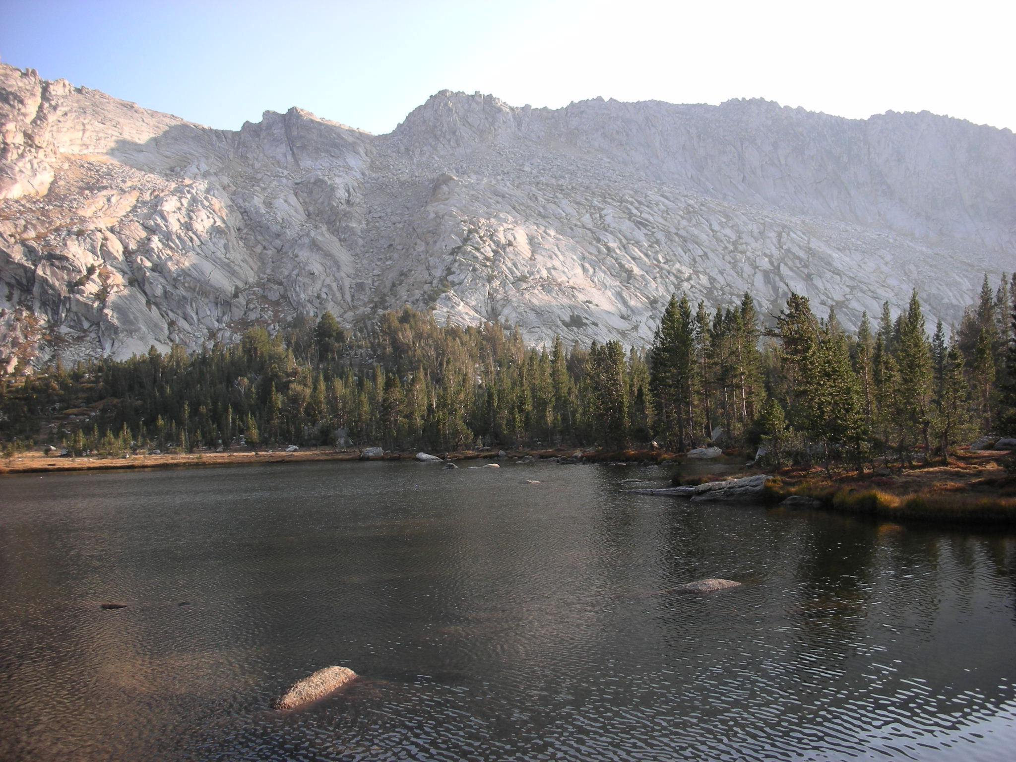
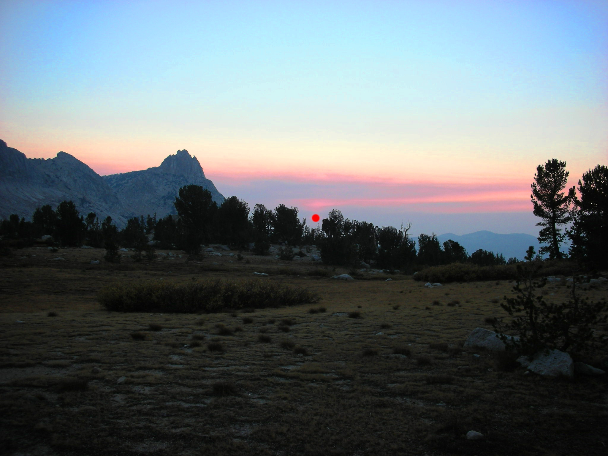
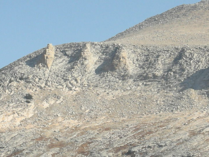
Above the head of the lake, on the north flank of Mt. Conness, is an interesting geological feature.
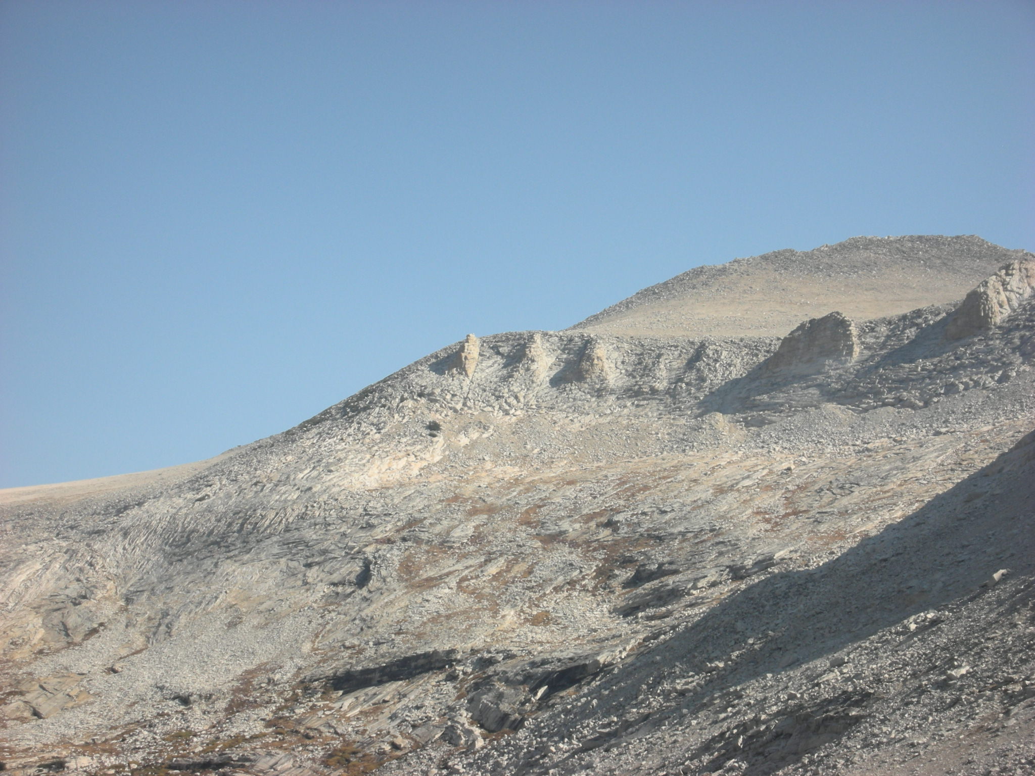
We speculated that a long lost civilization had carved the likeness of their revered citizens into the ridge. But through the eons they had been reduced to these 5 mounds, only one still resembles Dr. Fauci.

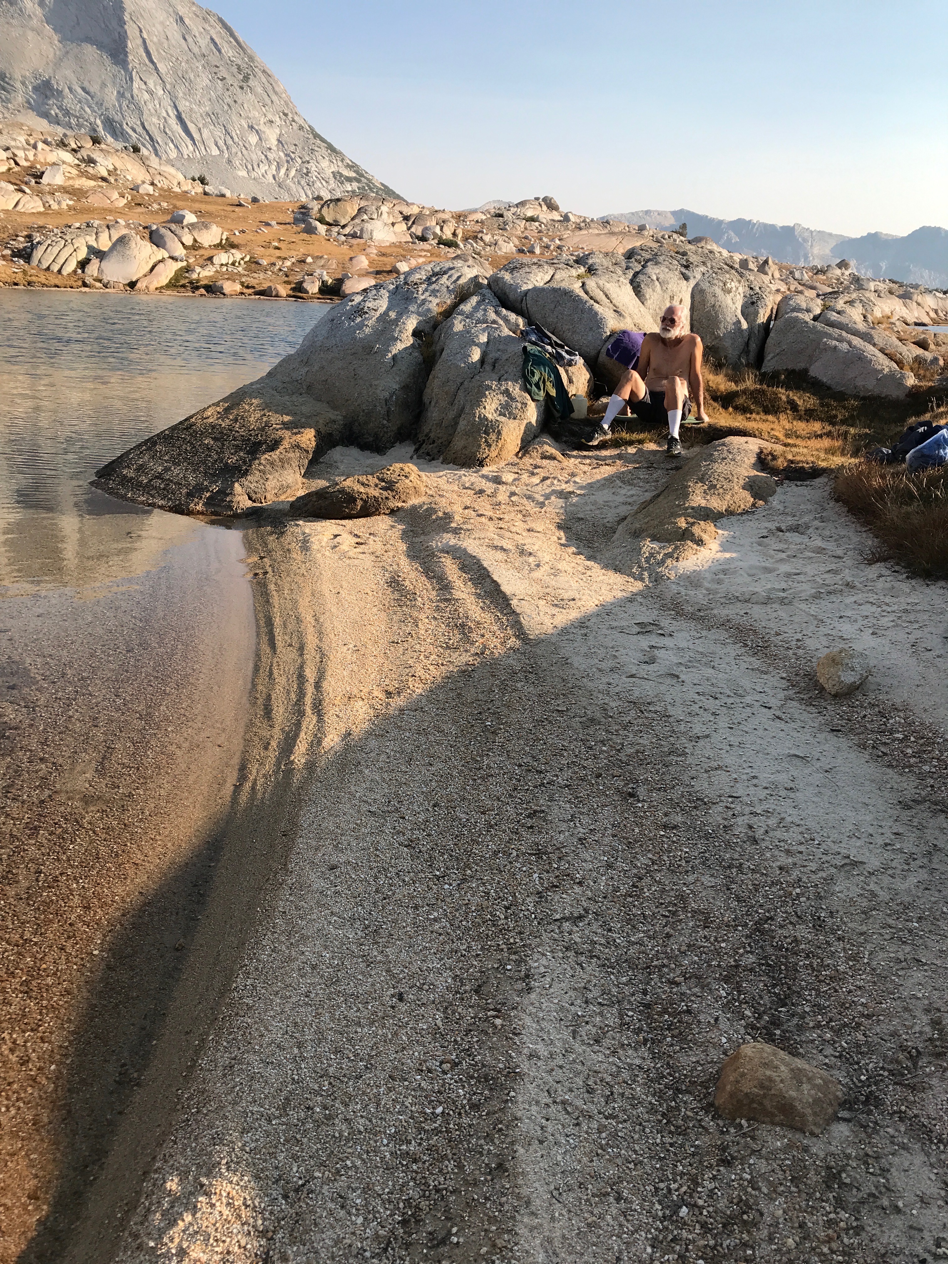
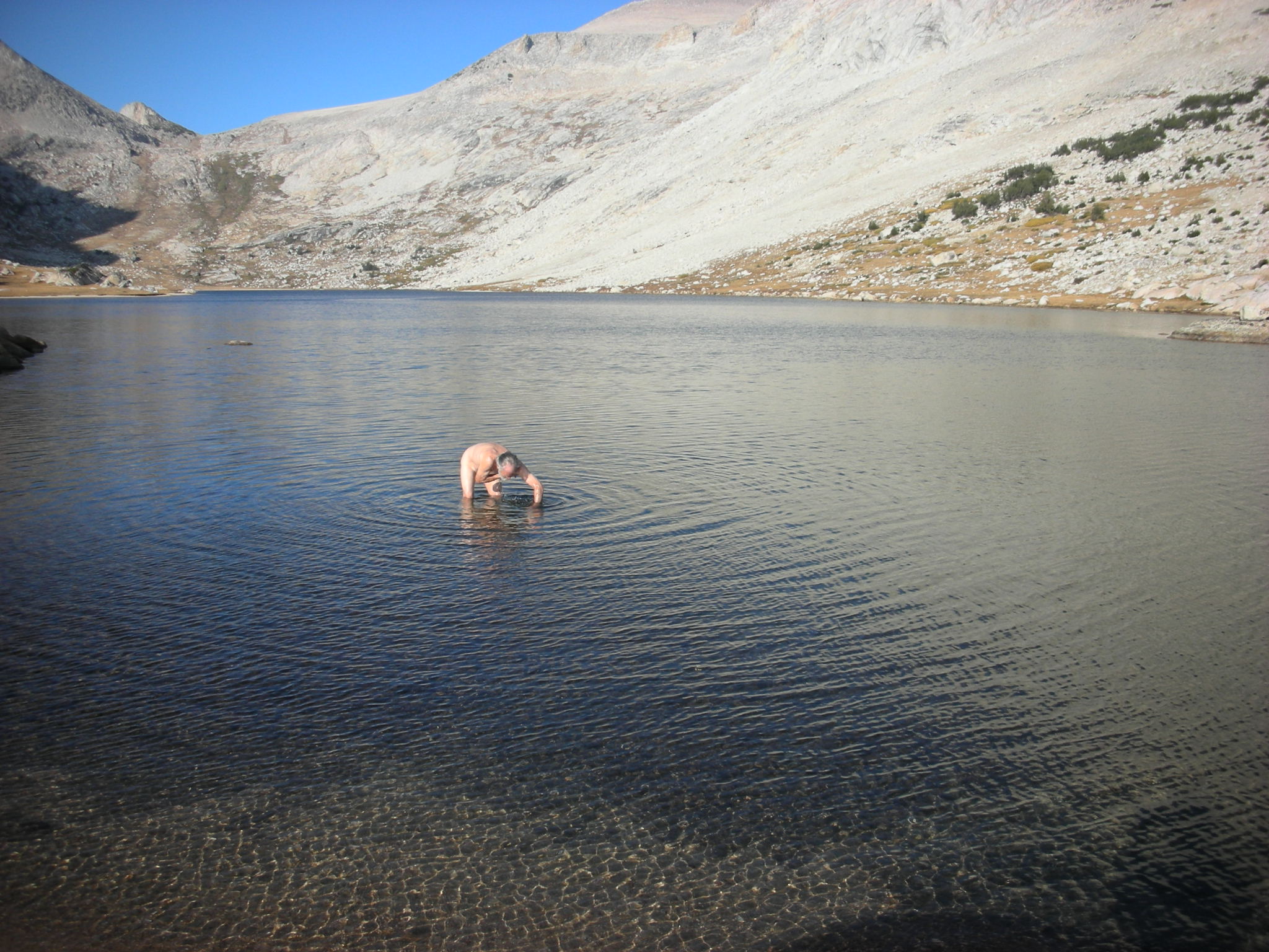
There was a nice little beach at our feet, so we went for a invigorating splash.
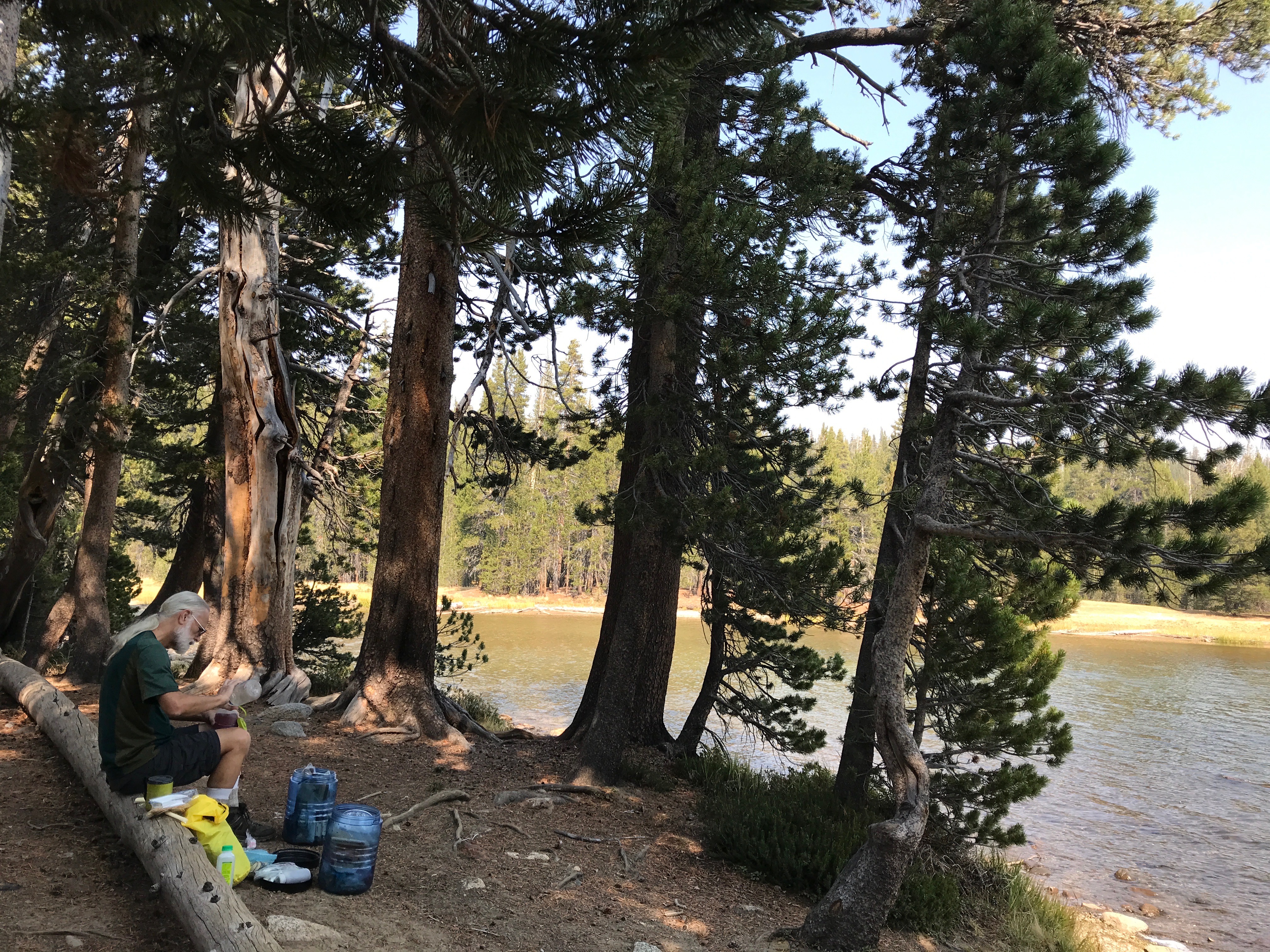
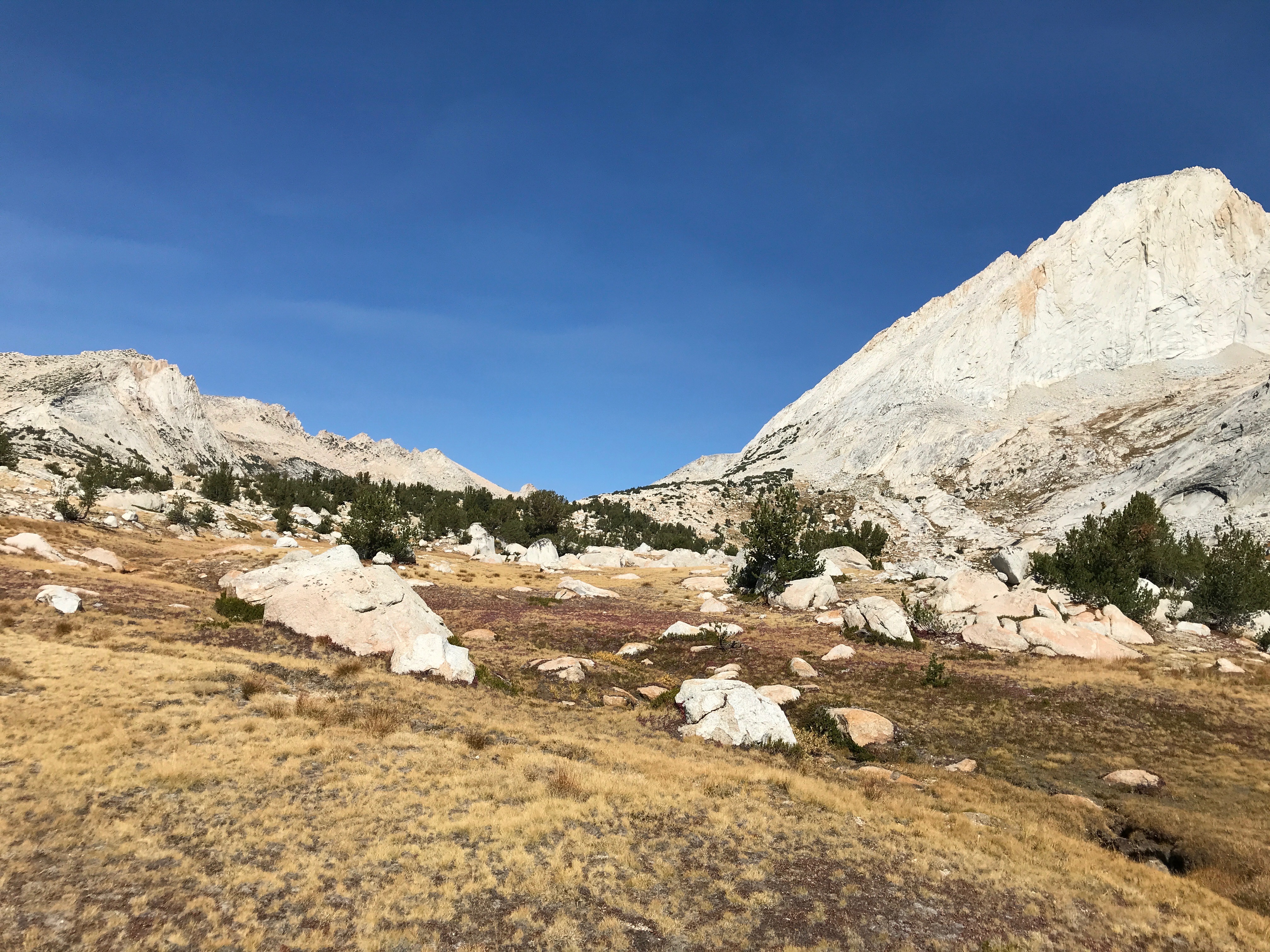
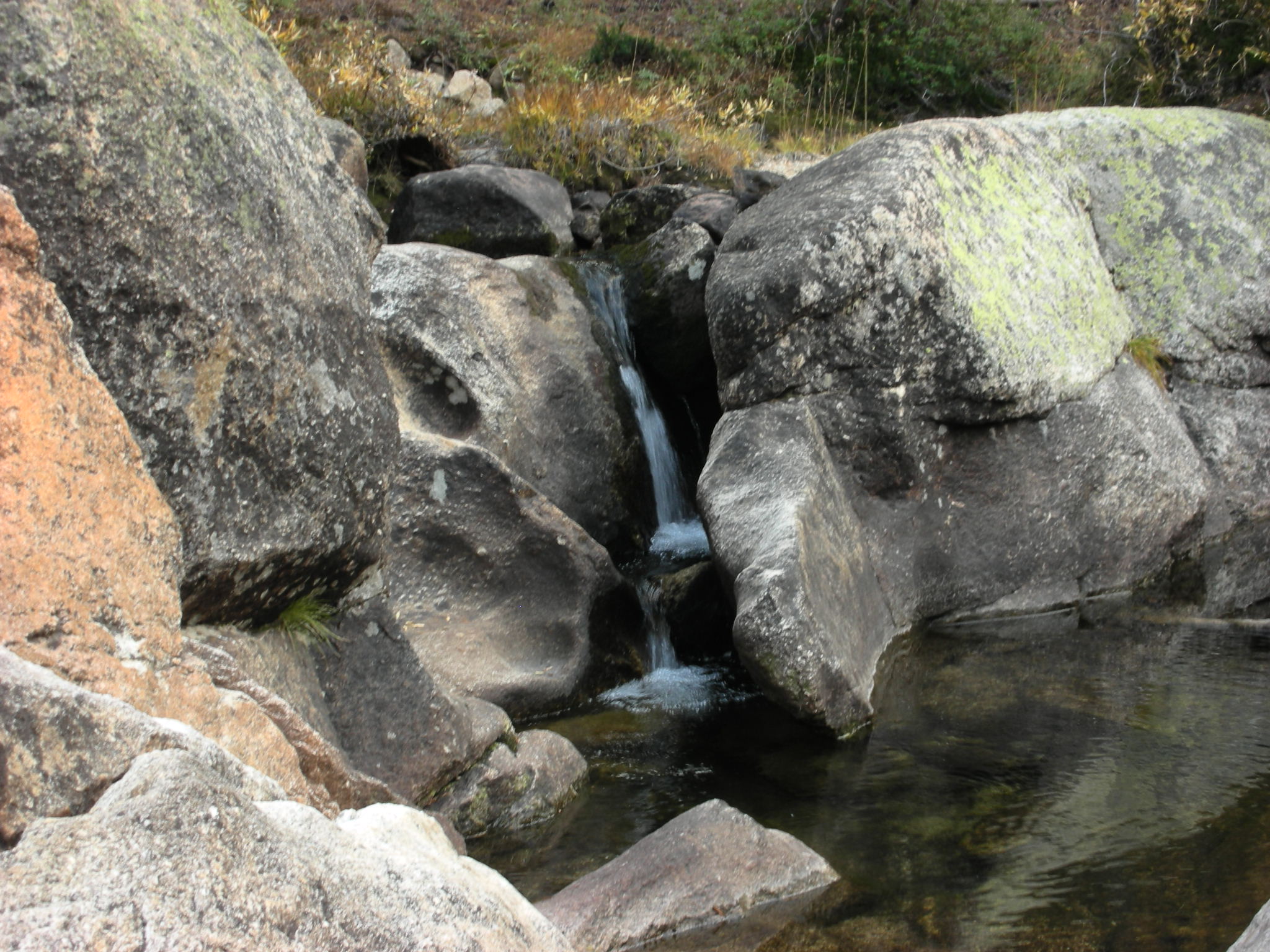
The next day we moved down the outlet creekbed, looking for a nice remote campsite on running water. It was late in a dry year, but we expected to find something. For a few hours of sometimes steep, sometimes gentle descent along the dry river bed we alternated bush whacking through the pretty dense Lodgepole forest with travelling right down the middle of the broad creek bed which was gigantic granite slabs.

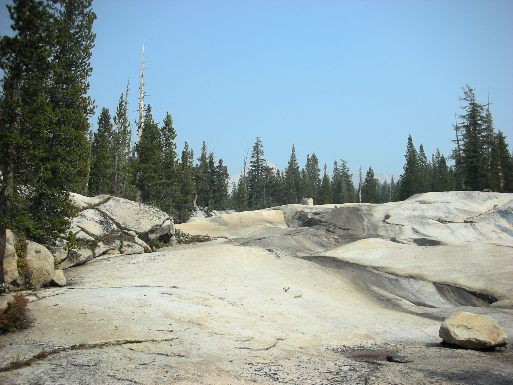
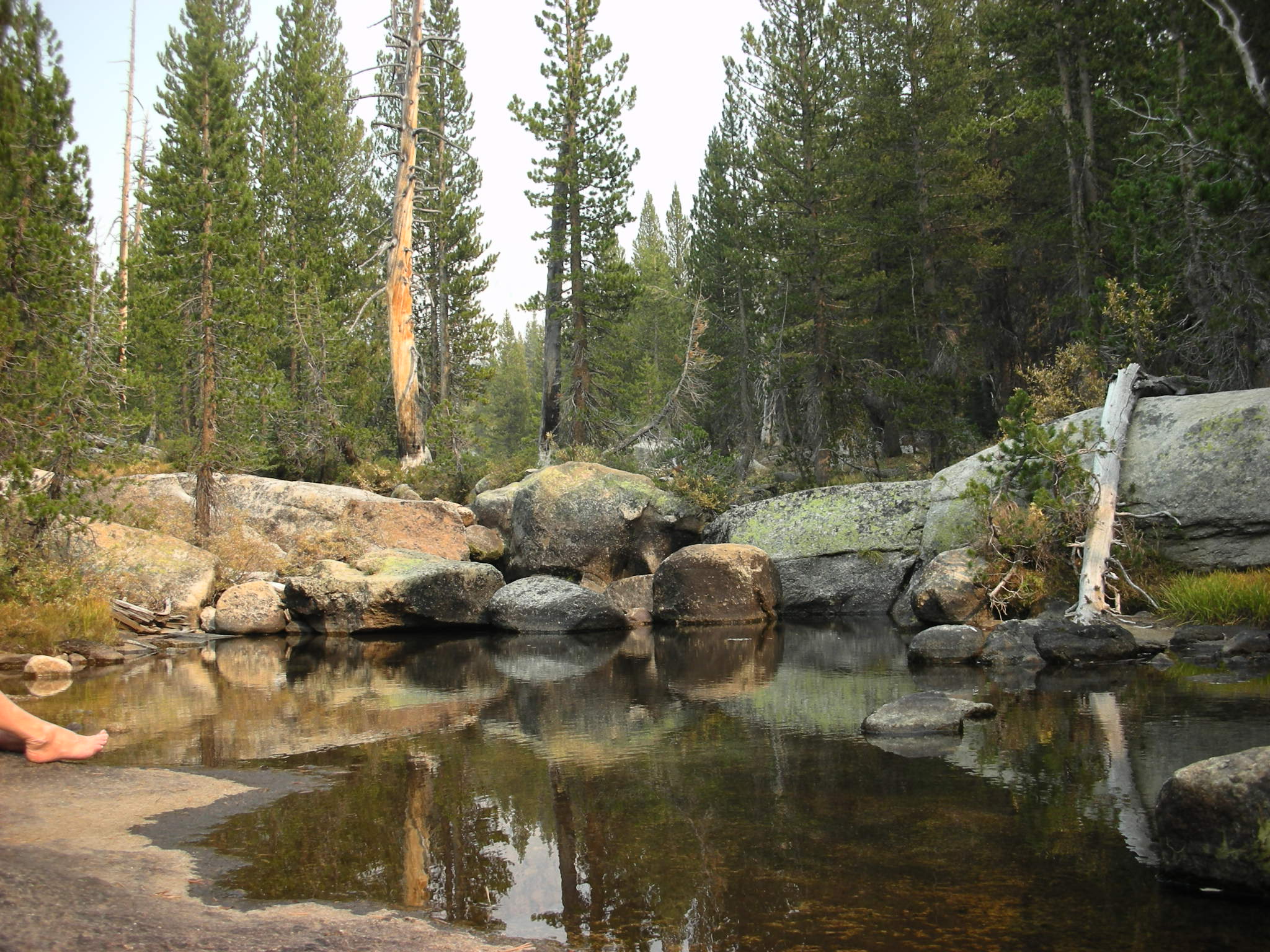
Polished by glaciers in places and smoothed and shaped by water, it was a very easy trail to follow. When the gradient changed, for instance getting too steep to walk on, we would detour into the forest. Some times the slabby creek flattened out, and then there would be a huge pile of debris from the eons of seasonal floods, here we'd cut off in to the woods, but come back to the slabs beyond the jumble of logs and boulders. On one of these foresty parts of the route we heard running water and immediately found a fine creek to have lunch.


After lunch we consulted the map and figured out what our best plan for the rest of the day and the next day. Since tomorrow was the day we hiked out we didn't want to make that to long or hard, but didn't want to get too close to civilization either. I wandered down stream a bit and found some lovely flat slabs we could sleep on, but a bit exposed. Nearby there was a pretty large sandy flat. A seasonal pond, but not this season. It was like a small clearing in the woods. We decided to camp here.
The next day we had a plan. Hike up (still cross country) following the creek.

We thought this creek was the outlet of the lowest Young Lake. It was a great hike, never too steep. I love hiking through the forest. Mostly Lodgepole pine, but we hiked through a couple of Red Fir groves on the steeper parts near to Young Lake. Along the way we saw many old sawed off stumps which we couldn't figure out.

The creek we were following petered out, it was actually spring fed.

But we knew where we were and climbed the last steep rise to the flat apron surrounding the lake, and then could see the dark water through the trees.

We found the trail and at the point where the trail first meets the lake we stopped for lunch.
From here it was following the same first day's trail back to the cars.

